You are here: \ Shared Services \ Geospatial Projects and Services \ Aerial Photos of the Waikato Region
You are here: \ Shared Services \ Geospatial Projects and Services \ Aerial Photos of the Waikato Region

Waikato councils purchase a new set of both rural and urban aerial photos every five years. This work has been undertaken collectively since 2002, saving time and resources across councils.
The latest urban imagery capture was completed in 2022 and the images are available on the Land Information Data Service, the latest rural imagery was captured between 2020 and 2023.
Fresh rural and urban imagery is being captured during the 2025–26 summer season. The imagery will be released via the LINZ Data Service as it becomes available.
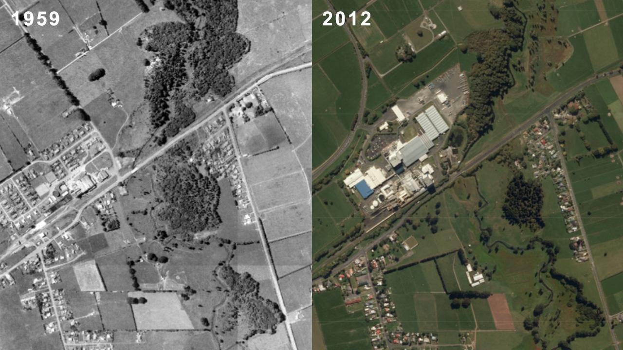
The Crown Aerial Film Archive contains 550,000 historic aerial photo negatives captured by surveys flown over New Zealand between 1936 and 2008. Toitū Te Whenua began scanning the archive in 2014, and Co-Lab agreed to contribute to the digitisation of the Waikato region’s negatives.
The scanning is substantially completed with a small set of difficult scans to be completed in the near future.
Historical images of the region are publicly available through Retrolens, developed by the Local Government Geospatial Alliance. This application allows the public and all councils to easily search and download the images.
Councils use these images for vegetation change detection, contaminated land identification and to locate changes to coastal accretion and erosion.


For support with aerial photography of the region contact: